
01
Land Surveying
Accurate land measurement and surveying solutions.

Professional land surveying and infrastructure survey solutions powered by the latest technology.
Fidelity - Transparency - Honesty With Latest Technology

Digi Land Survey provides professional land surveying and infrastructure survey solutions with accuracy, transparency and reliability.
Our services support landowners, builders, engineers, architects and infrastructure projects using modern surveying methods and technology.
Explore our professional land, construction, technology and infrastructure surveying services.
Accurate land measurement and surveying solutions.

Precise identification and demarcation of property boundaries.
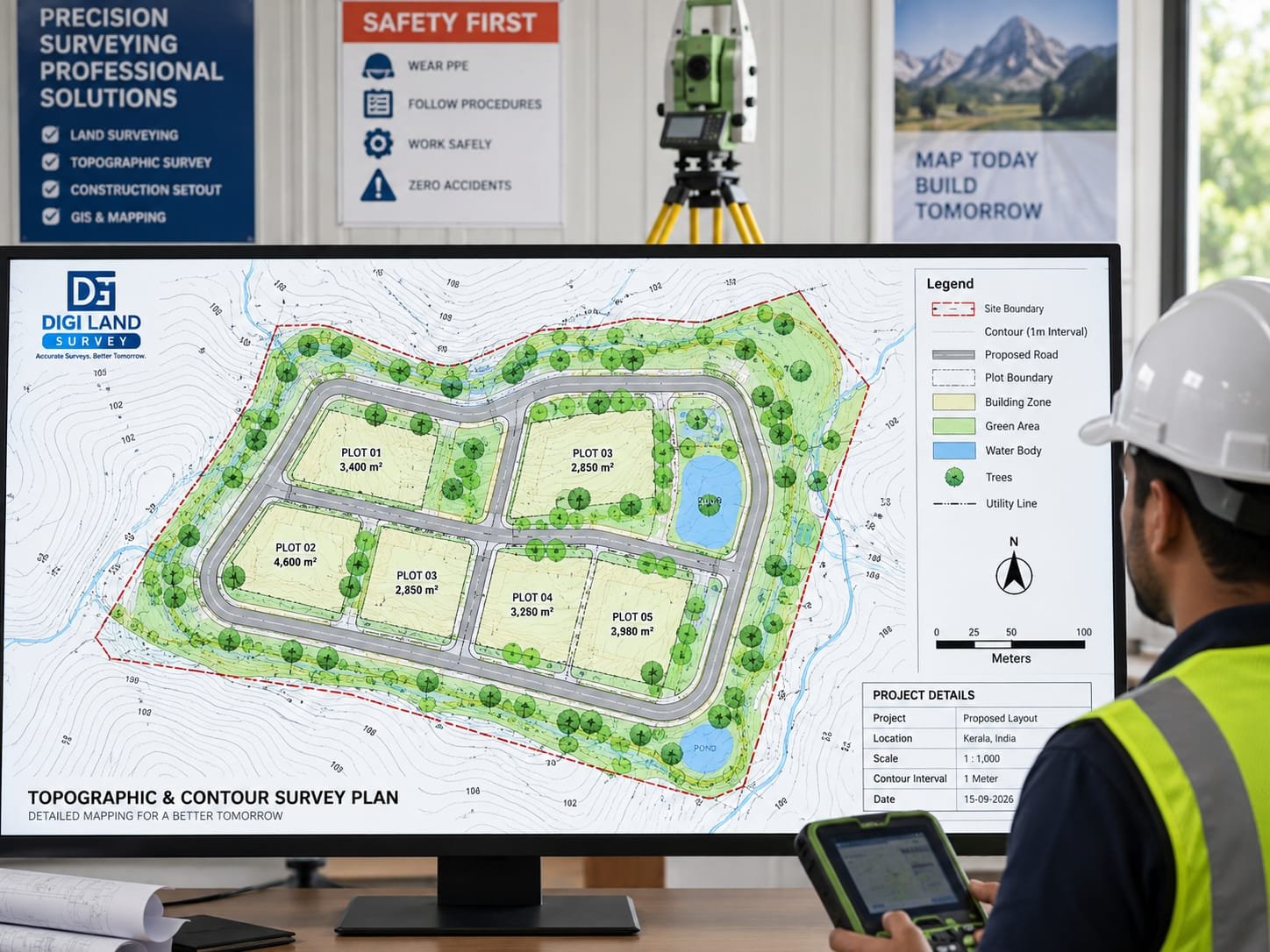
Detailed topographic and contour mapping of land.
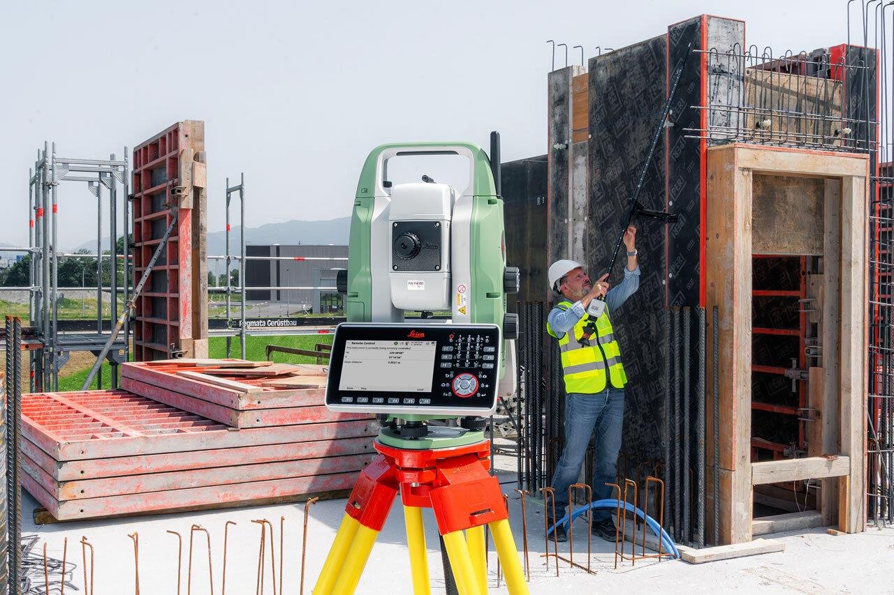
Precise surveying using advanced Total Station technology.

High-accuracy surveying using DGPS technology.
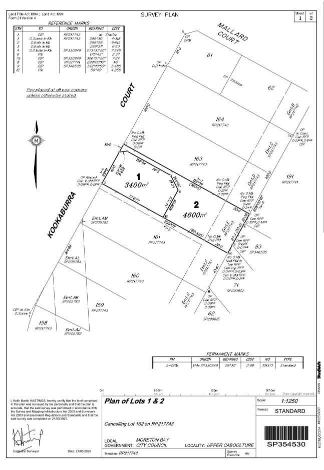
Professional land subdivision and plot planning services.
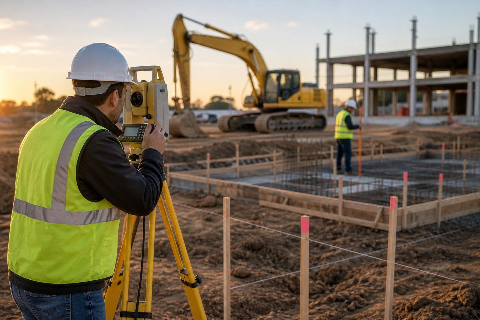
Accurate setting out of buildings and construction layouts.

Detailed existing building plans for renovation projects.

Site plans for Civil Engineers, Architects & Contractors.

Road surveying, planning and design solutions.
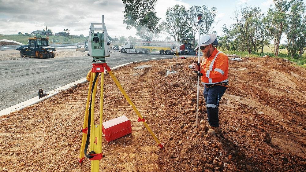
Accurate quantity calculations for roadwork projects.

Accurate area calculations and professional survey plans.

Identification of land details from digital survey records.

Professional preparation of Pattayam sketches.

Preparation of sketches for land conversion applications.

Correlation of old survey boundaries and survey numbers with new survey records.
Tell us your requirement and our survey team will get back to you.
Reach out for your land, construction or infrastructure survey requirements.
220B Heiley Office Pvt. Ltd., Basement Floor,
Pallath Shreevassam,
FACT Kalamassery PO,
Ernakulam - 683104